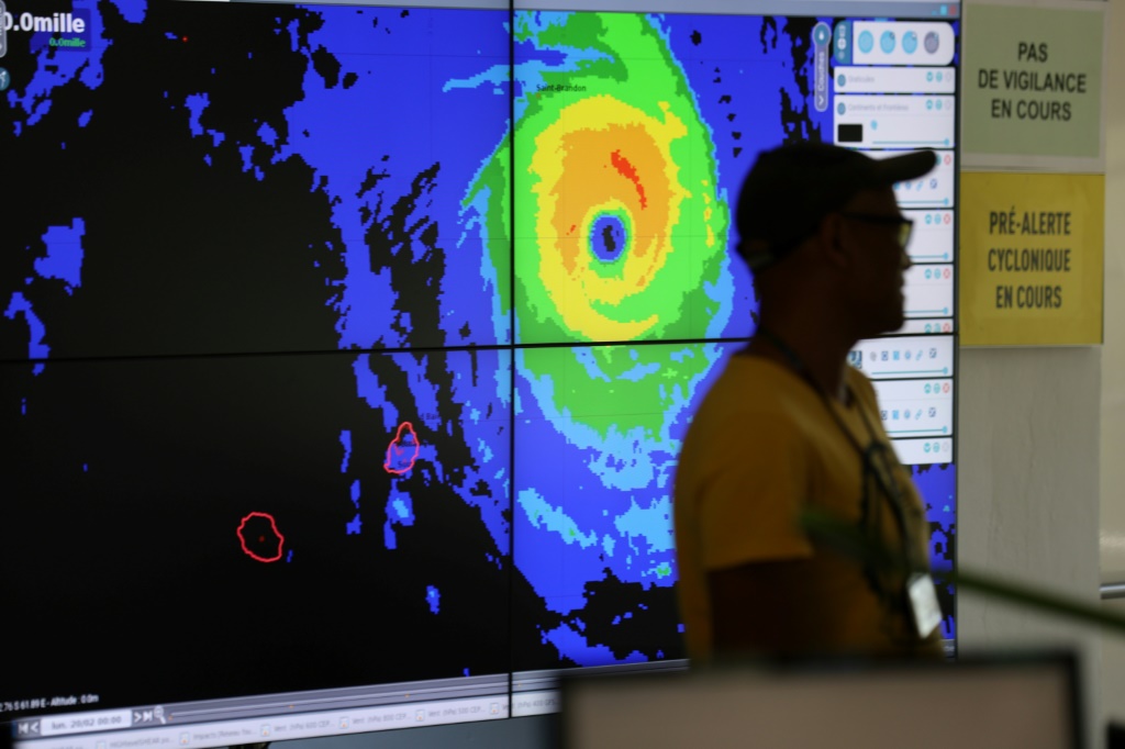
Tropical storm Freddy is on track to break the record as the longest-lasting cyclone of its kind, the United Nations said Friday, as the killer storm was set to hit Mozambique once again.

“Freddy is continuing its incredible and dangerous journey,” Clare Nullis, spokeswoman for the UN’s World Meteorological Organization, told reporters in Geneva.
Freddy has been a named tropical cyclone for 33 days since developing off the north Australian coast and becoming a named storm on February 6.
The current record is held by Hurricane/Typhoon John, which lasted 31 days in 1994, the WMO said.
Freddy has periodically weakened below tropical storm status, such as when it was lingering over Mozambique and Zimbabwe the first time around.
Once it has dissipated, a WMO climate extremes expert committee will assess all the data to determine whether a new record has been indeed set, a process that could take months.
“We will obviously need to address if that is a concern in our evaluation,” said Randall Cerveny, the WMO’s Weather and Climate Extremes rapporteur.
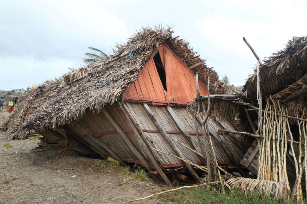
Freddy crossed the entire southern Indian Ocean and made landfall in Madagascar on February 21, crossing the island before reaching Mozambique on February 24 and claiming lives in both countries.
It tracked over Mozambique and Zimbabwe, bringing heavy rains and flooding.
It then looped back towards the coast, picking up moisture and strength from the warm waters, and hit Madagascar again before now heading towards Mozambique once again.
– Dangerous surge expected –
Freddy is expected to make landfall in Mozambique’s northern province of Zambezia late Friday or possibly Saturday morning.

The cyclone is moving slowly, meaning it is hovering close to the coast and picking up more moisture, and the warmer waters could prompt an increased in the storm’s intensity.
“There will be very destructive winds, a very dangerous storm surge on landfall and extreme rainfall over large areas — not just in Mozambique but also northeast Zimbabwe, southeast Zambia, and Malawi,” Nullis said.
The expected rainfall totals are 200 to 300 millimetres (7.9 to 11 inches), but locally it could be more than 400-500 mm over the landing area.
“This is more than twice the usual monthly rainfall, and it’s coming on top of the existing rainfall that Freddy caused the first time around,” Nullis said.
Malawi is also going to see “very heavy, very dangerous rainfall and flooding”, she said.
The last cyclones to cross the entire southern Indian Ocean were Tropical Cyclones Leon-Eline and Hudah in 2000.
The UN’s World Food Programme said it had pre-positioned logistics, staff and technical support ahead of Freddy’s new landfall.
“We are now bracing for the return of Freddy in Mozambique,” Romina Woldemariam, the programme’s regional emergency coordinator, said via videolink from Johannesburg.
“We will respond to the most urgent needs.”
She said Freddy had impacted an estimated 226,000 people in Madagascar, then 170,000 people in Mozambique before affecting a further 40,000 people on its return to Madagascar.
“The already-worrying nutritional situation is expected to get worse in southeastern Madagascar, post-cyclone,” she said, with the WFP seeking to help 90,000 people with food assistance and a further 65,000 with cash transfers.


